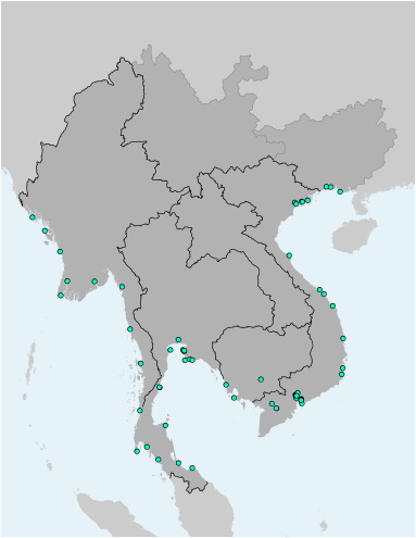
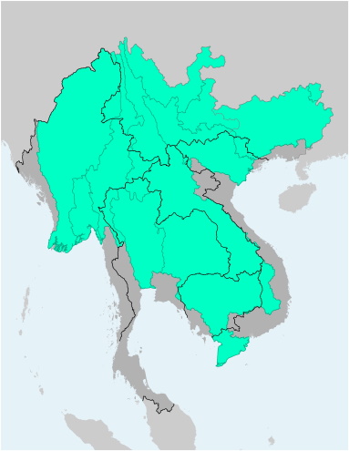
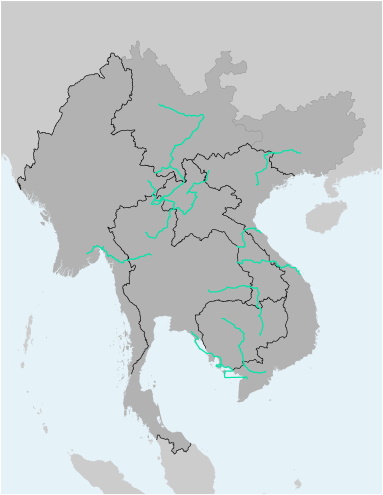
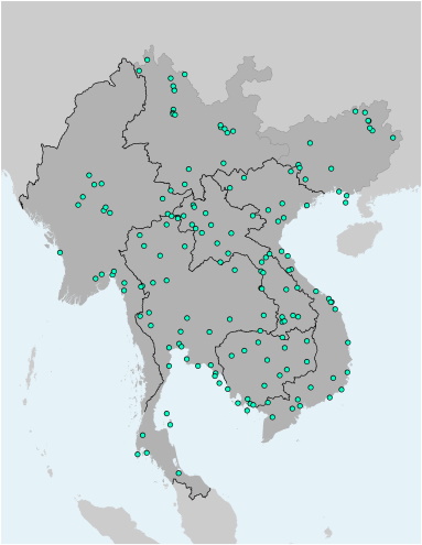
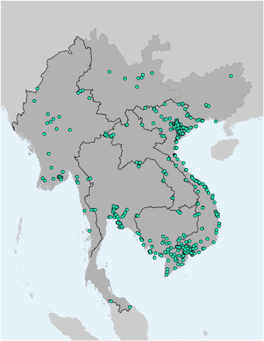
GMS Airports

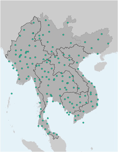
This file contains the locations of airports (international and domestic) in the Greater Mekong Subregion. The file is available as Shapefile (for use with Desktop-GIS software) and KMZ (for use with Google Earth).

Trade

GMS Seaports

This file contains the locations of seaports in the Greater Mekong Subregion. The file is available as Shapefile (for use with Desktop-GIS software) and KMZ (for use with Google Earth).

Trade

GMS Lakes

This file contains the alignments (polygons) of the Greater Mekong Subregion inland waterbodies (>1 sq.km. The file is available as Shapefile (for use with Desktop-GIS software) and KMZ (for use with Google Earth).

Environment

GMS Main Rivers

This file contains the alignments (polylines) of the Greater Mekong Subregion's main rivers and tributaries. The file is available as Shapefile (for use with Desktop-GIS software) and KMZ (for use with Google Earth).

Environment

GMS Protected Areas

This file contains the alignments (polygons) of Protected Areas in the Greater Mekong Subregion. The file is available as Shapefile (for use with Desktop-GIS software) and KMZ (for use with Google Earth).

Environment

GMS Major River Basins

This file contains the alignments (polygons) of the basins and catchments of major rivers and tributaries of the Greater Mekong Subregion. The file is available as Shapefile (for use with Desktop-GIS software) and KMZ (for use with Google Earth).

Environment

GMS Tourism - MTCO Travel Routes

This file contains the alignments (polyline) and names of the several scenic travel routes as identified by the Mekong Tourism Coordinating Office (MTCO). The file is available as Shapefile (for use with Desktop-GIS software) and KMZ (for use with Google Earth).

Tourism

GMS Tourism - Important Tourist Sites and World Heritage Sites

This file contains the locations (points) of major tourism attractions of the Greater Mekong Subregion. Each point contains further information on the name of the tourism site, its main features (attractions), and the type of tourism asset. It also identifies if it is a UNESCO World Heritage Site. The file is available as Shapefile (for use with Desktop-GIS software) and KMZ (for use with Google Earth).

Tourism

GMS Special Economic Zones and Industrial Zones

This file contains the locations (points) of Special Economic Zones and Industrial Zones in the Greater Mekong Subregion. Each point contains further information on the name of the SEZ/IZ, its national categorization, its regional categorization, address, association with the nearest Economic Corridor, and the nearest border node. The file is available as Shapefile (for use with Desktop-GIS software) and KMZ (for use with Google Earth).

Special Economic Zones and Industrial Zones

GMS Regional Power Trade - Illustration

This file contains the alignments (polyline) of transmission lines important to Regional Power Trade and Interconnection. These polylines are entirely illustrations (not following the exact location on the ground), and are further detailed by their capacity in kV and their status of construction. The file is available as Shapefile (for use with Desktop-GIS software) and KMZ (for use with Google Earth).

Regional Power Trade

Pages