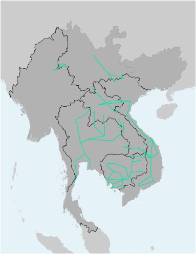
GMS Regional Power Trade - Illustration
Regional Power Trade

GMS Regional Power Trade - Illustration
This file contains the alignments (polyline) of transmission lines important to Regional Power Trade and Interconnection. These polylines are entirely illustrations (not following the exact location on the ground), and are further detailed by their capacity in kV and their status of construction. The file is available as Shapefile (for use with Desktop-GIS software) and KMZ (for use with Google Earth).
| Attachment | Size |
|---|---|
| 5.36 KB | |
| 3.99 KB |
