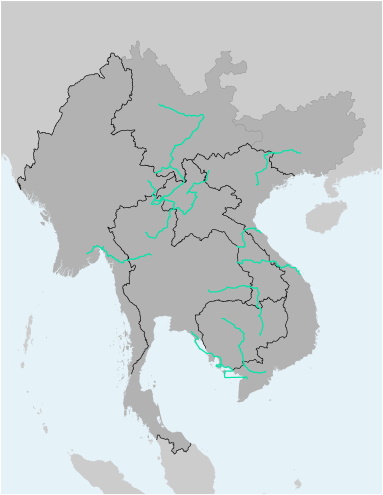
This file contains the alignments (polyline) and names of the several scenic travel routes as identified by the Mekong Tourism Coordinating Office (MTCO). The file is available as Shapefile (for use with Desktop-GIS software) and KMZ (for use with Google Earth).
GMS Tourism - MTCO Travel Routes
Tourism
GMS Tourism - Important Tourist Sites and World Heritage Sites
Tourism
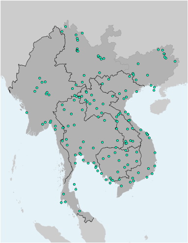
This file contains the locations (points) of major tourism attractions of the Greater Mekong Subregion. Each point contains further information on the name of the tourism site, its main features (attractions), and the type of tourism asset. It also identifies if it is a UNESCO World Heritage Site. The file is available as Shapefile (for use with Desktop-GIS software) and KMZ (for use with Google Earth).


