GMS Protected Areas
Environment
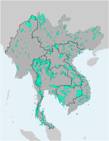
This file contains the alignments (polygons) of Protected Areas in the Greater Mekong Subregion. The file is available as Shapefile (for use with Desktop-GIS software) and KMZ (for use with Google Earth).
Source: GMS Core Environment Program with GMS country government data and the UNEP WDPA
| Attachment | Size |
|---|---|
| 642.98 KB | |
| 652.41 KB |
Version Date: October 2020
Last Updated:
10
February
2021