GMS Lakes
Environment
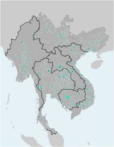
This file contains the alignments (polygons) of the Greater Mekong Subregion inland waterbodies (>1 sq.km. The file is available as Shapefile (for use with Desktop-GIS software) and KMZ (for use with Google Earth).
Source: GMS Economic Cooperation Program based on OSM data
| Attachment | Size |
|---|---|
| 10.47 MB | |
| 7.35 MB |
Version Date: November 2020
Last Updated:
10
February
2021