GMS Lakes
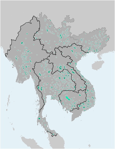
This file contains the alignments (polygons) of the Greater Mekong Subregion inland waterbodies (>1 sq.km. The file is available as Shapefile (for use with Desktop-GIS software) and KMZ (for use with Google Earth).
This file contains the alignments (polygons) of the Greater Mekong Subregion inland waterbodies (>1 sq.km. The file is available as Shapefile (for use with Desktop-GIS software) and KMZ (for use with Google Earth).
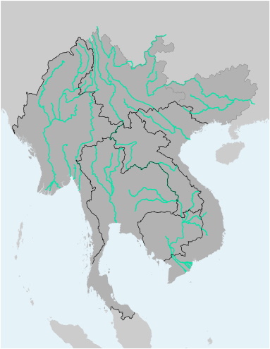
This file contains the alignments (polylines) of the Greater Mekong Subregion's main rivers and tributaries. The file is available as Shapefile (for use with Desktop-GIS software) and KMZ (for use with Google Earth).
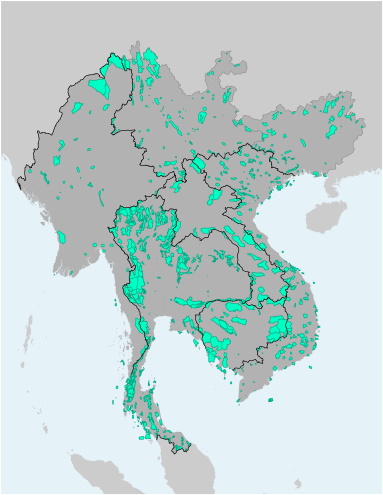
This file contains the alignments (polygons) of Protected Areas in the Greater Mekong Subregion. The file is available as Shapefile (for use with Desktop-GIS software) and KMZ (for use with Google Earth).
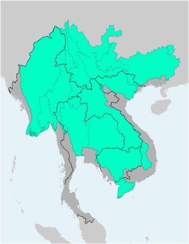
This file contains the alignments (polygons) of the basins and catchments of major rivers and tributaries of the Greater Mekong Subregion. The file is available as Shapefile (for use with Desktop-GIS software) and KMZ (for use with Google Earth).