| Attachment | Size |
|---|---|
| Shapefile (for use with GIS Software) | 18.23 KB |
| KMZ File (for use with Google Earth) | 15.76 KB |
Map Type
Map Theme
Version Date
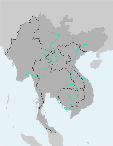
This file contains the alignments (polyline) and names of the several scenic travel routes as identified by the Mekong Tourism Coordinating Office (MTCO). The file is available as Shapefile (for use with Desktop-GIS software) and KMZ (for use with Google Earth).