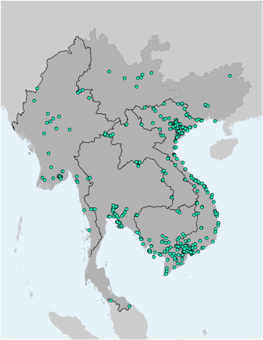
This file contains the locations (points) of Special Economic Zones and Industrial Zones in the Greater Mekong Subregion. Each point contains further information on the name of the SEZ/IZ, its national categorization, its regional categorization, address, association with the nearest Economic Corridor, and the nearest border node. The file is available as Shapefile (for use with Desktop-GIS software) and KMZ (for use with Google Earth).

